• Flag It
  • Flag De
  • Flag Fr
  • Flag Hr
  • Flag Nl
  • Flag Pl
  • Flag Ru
  • Flag En
     

Navigation Instruments, Electronics (469) - FNI


show grid
Order:
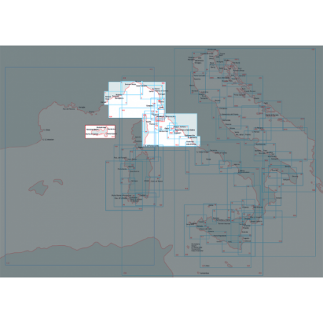
From cannes to imperia
0100001 - From cannes to imperia
Nautic Chart of Istituto Idrografico della Marina, in SCALE 1: 100,000, printed on paper size 116 x 83 cm
Price: 38.70 €
From canale di piombino to argentario and scoglio africa
0100005D - From canale di piombino to argentario and scoglio africa
Nautic Chart of Istituto Idrografico della Marina, with map scale 1: 100,000, printed on paper size 116 x 83 cm. DO NOT USE FOR NAVIGATION
Price: 4.00 €
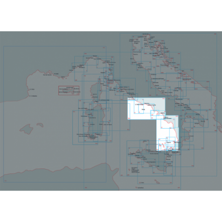
From capo circeo to ischia and pontine islands
0100009 - From capo circeo to ischia and pontine islands
Nautic Chart of Istituto Idrografico della Marina, in SCALE 1: 100,000, printed on paper size 116 x 83 cm
Price: 38.70 €
From capo milazzo to c.orlando and eolie island
0100014 - From capo milazzo to c.orlando and eolie island
Nautic Chart of Istituto Idrografico della Marina, with map scale 1: 100,000, printed on paper size 83 x 116 cm
Price: 38.70 €
Da from capo milazzo to roccella ionica
0100023 - Da from capo milazzo to roccella ionica
Nautic Chart of Istituto Idrografico della Marina, with map scale 1: 100,000, printed on paper size 116 x 83 cm
Price: 38.70 €
From torre dell'orso to brindisi
0100029 - From torre dell'orso to brindisi
Nautic Chart of Istituto Idrografico della Marina, with map scale 1: 100,000, printed on paper size 116 x 83 cm
Price: 38.70 €
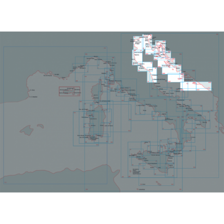
From trontoriver to ancona
0100035 - From trontoriver to ancona
Nautic Chart of Istituto Idrografico della Marina, in SCALE 1: 100,000, printed on paper size 83 x 116 cm
Price: 38.70 €
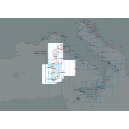
From capo corse to alistro and elba island
0100040 - From capo corse to alistro and elba island
Nautic Chart of Istituto Idrografico della Marina, with map scale 1: 100,000, printed on paper size 83 x 116 cm
Price: 38.70 €
Island of sardinia historical
0100159 - Island of sardinia historical
Printed on paper size of 100x70 cm
Price: 38.70 €
Historical map of sicily island
0100230 - Historical map of sicily island
Printed on paper size of 94x72 cm
Price: 38.70 €
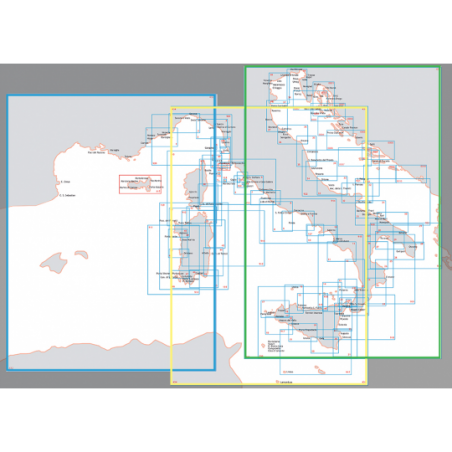
From the balearic sea to the tyrrhenian sea
0100432 - From the balearic sea to the tyrrhenian sea
Nautic Chart of Istituto Idrografico della Marina, in SCALE 1: 1.000,000, printed on paper size 83 x 116 cm
Price: 38.70 €
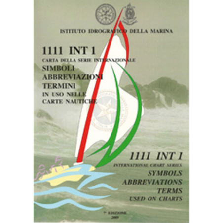
List of symbols, abbreviations, terms
0101111 - List of symbols, abbreviations, terms
List of symbols, abbreviations and terms used in NAUTICAL CHARTS.
Price: 38.70 €
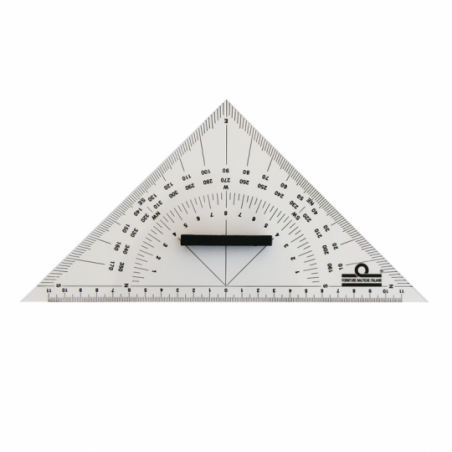
Triangle protractor
0101600 - Triangle protractor
In transparent plexiglas with handle. Double goniometer built and gradation in millimeters. Length hypotenuse 250 mm. Pack 8 pcs.
Price: 5.00 €
Plexiglas
0101602 - Plexiglas
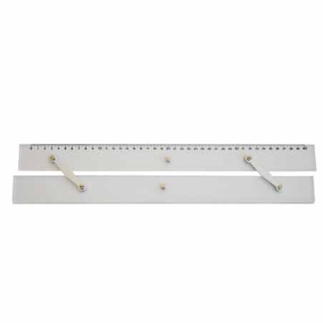
Plexiglas moved to auction, the gauge in millimeters. Length 400 mm.
Price: 42.40 €
Trasparent plexiglas
0101603 - Trasparent plexiglas
With goniometer, provides a quick and easy method of plotting courses and bearings and gives a direct reading ofcorrections for magnetic variation with ratatable compass rose. Length 350 mm.
Price: 35.00 €
Plexiglas
0101604 - Plexiglas
Made of plexiglass, it allows you to trace bearings and routes based on the grading of the compasses and to determine distances. Length 385 mm.
Price: 23.10 €
Fixed point divider
0101619 - Fixed point divider
Fixed Point DividerLength mm. 180.
Price: 6.90 €
Straight chart divider
0101620 - Straight chart divider
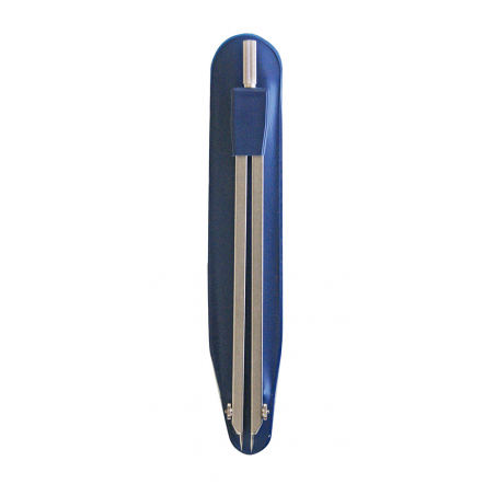
Straight Chart DividerSatin and anodized light alloy.Length mm. 180.
Price: 10.20 €
Straight chart divider
0101622 - Straight chart divider
Straight Chart DividerPlated brass, with protectors.Length 180 mm.
Price: 59.10 €
Kit for nautical charts
0101634 - Kit for nautical charts
School charting kit comprising: 2 squares, compass, pencil and eraser.
Price: 51.40 €
Kit for nautical charts
0101635 - Kit for nautical charts
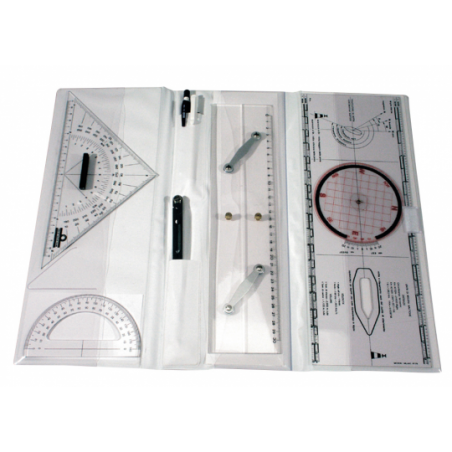
Set for nautic chart collected in a handy plastic box comprises: PARALLEL RULERS, sailing team, goniometer, tracer log, compass pencil and eraser
Price: 122.10 €
List of lights and fog signals
010900FA - List of lights and fog signals
List of lighthouses and fog signals from Cannes (France) Saranda (Albania)
Price: 37.70 €
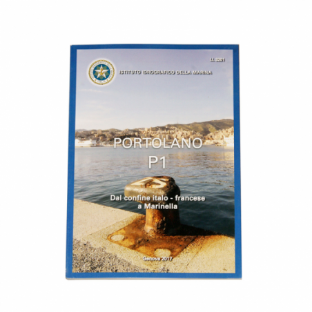
P1 coast pilot
010900P1 - P1 coast pilot
It provide information regulatory, geographic, oceanographic and meteorological. This is indispensable complement to the nautical charts. From the Italian-French border in Marinella
Price: 37.70 €
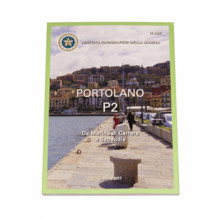
P2 coast pilot
010900P2 - P2 coast pilot
Forniscono informazioni di carattere normativo, geografico, oceanografico e meteorologico. Sono lindispensabile completamento alla carta nautica. From Marina di Carrara to Sabaudia
Price: 37.70 €
P3 coast pilot
010900P3 - P3 coast pilot
It provide information regulatory, geographic, oceanographic and meteorological. This is indispensable complement to the nautical charts. From Sardegna to Bocche di Bonifacio
Price: 37.70 €
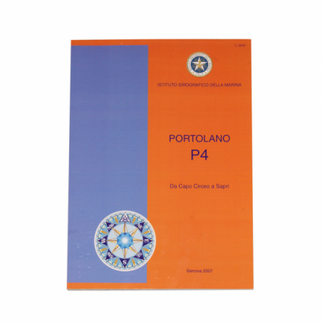
P4 coast pilot
010900P4 - P4 coast pilot
It provide information regulatory, geographic, oceanographic and meteorological. This is indispensable complement to the nautical charts. From Capo Circeo to Sapri
Price: 37.70 €
P5 coast pilot
010900P5 - P5 coast pilot
It provide information regulatory, geographic, oceanographic and meteorological. This is indispensable complement to the nautical charts. From Maratea a Leuca and East Sicily cost
Price: 37.70 €
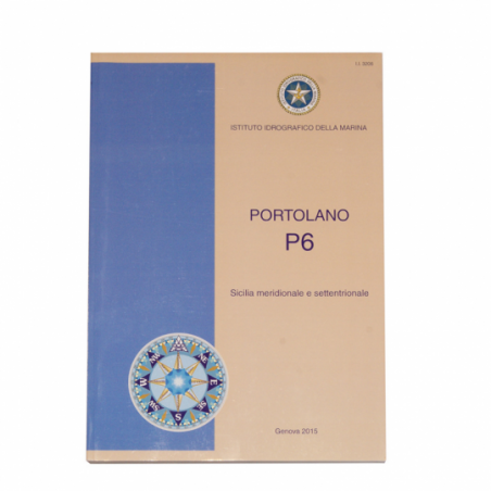
P6 coast pilot
010900P6 - P6 coast pilot
It provide information regulatory, geographic, oceanographic and meteorological. This is indispensable complement to the nautical charts. Southern and northern Sicily and the Maltas Islands
Price: 37.70 €
 
..  next page >
 
Watertight connectors for
BARIGO Instruments
CLAMCLEATS Windsurfing Bo
ISOTHERM Indel Webasto Ma
 
Customer Service
About Us
FAQ
Mobile
Shipping
Terms of Use
Return & Refund Policy
Contacts
 
Company Information
info@yachtshop.eu
Tel: +39 0805342554
 
Cantiere Navalmeccanico
Rettifiche Ranieri S.r.l.
Vat: IT 00261710727
 
Payment methods
Paypal Visa Mastercard Aura Postepay Paypal Card Bank Transfer
Social networks:
Facebook Twitter Instagram GooglePlus Linkedin